
Sector / 02
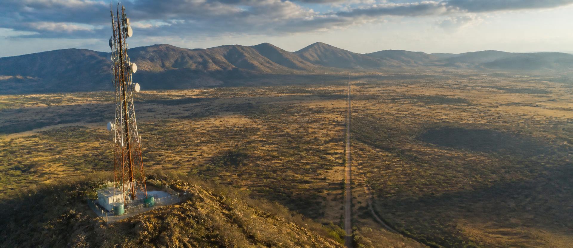
Network risk is physical. We survey the corridor and the structure, then hand back the layer your asset team already works in.
01
What we inspect
Tower structural integrity, antenna alignment, and fibre cable route corridors. Coverage gaps and physical risk to infrastructure across remote and hard-to-reach sites.
02
What the drone captures
High-resolution RGB mapping of tower components and cable pathways. Route surveys that would take ground crews days, completed in a single flight.
03
What you get
Structural condition reports, route deviation maps, and encroachment alerts — delivered as actionable data layers, integrated into your existing asset management workflow.
Applications
- A tower operator catches a structural fault during routine inspection instead of after an outage.
- A network operator confirms antenna alignment after a storm without dispatching a climber.
- A fibre provider maps an entire route corridor in one flight instead of a week of ground walking.
- A tower company documents structural condition across a portfolio for insurance renewal, without a site visit per tower.