
Sector / 01
Outages start small. We find the anomaly while it is still a maintenance item, not an incident.
01
What we inspect
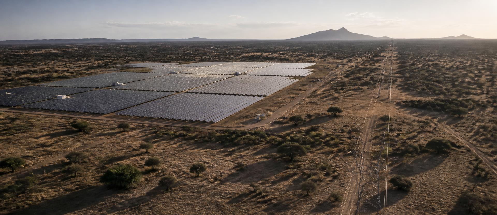
Powerlines, substations, and solar installations across Sub-Saharan Africa's grid. Fault detection, thermal anomalies, vegetation encroachment, structural degradation — before they cause outages.
02
What the drone captures
Thermal and RGB imaging via DJI Matrice 4T. Hotspot detection on solar panels and transformers, corrosion and wear on transmission infrastructure, all from safe standoff distance.
03
What you get
Georeferenced fault reports, panel-level thermal maps, and prioritized maintenance flags — not raw footage. Decisions, not drone flights.
Applications
- A solar operator spots a failing panel string before it costs a season of output.
- A grid operator flags vegetation encroaching a transmission line before it triggers a bushfire outage.
- A substation team catches a thermal hotspot on a transformer bushing before it fails during peak demand.
- An IPP proves underperformance claims to an EPC contractor with georeferenced thermal evidence, not a dispute.