
Sector / 05
Progress claims are easier to settle when everyone is looking at the same survey.
01
What we monitor
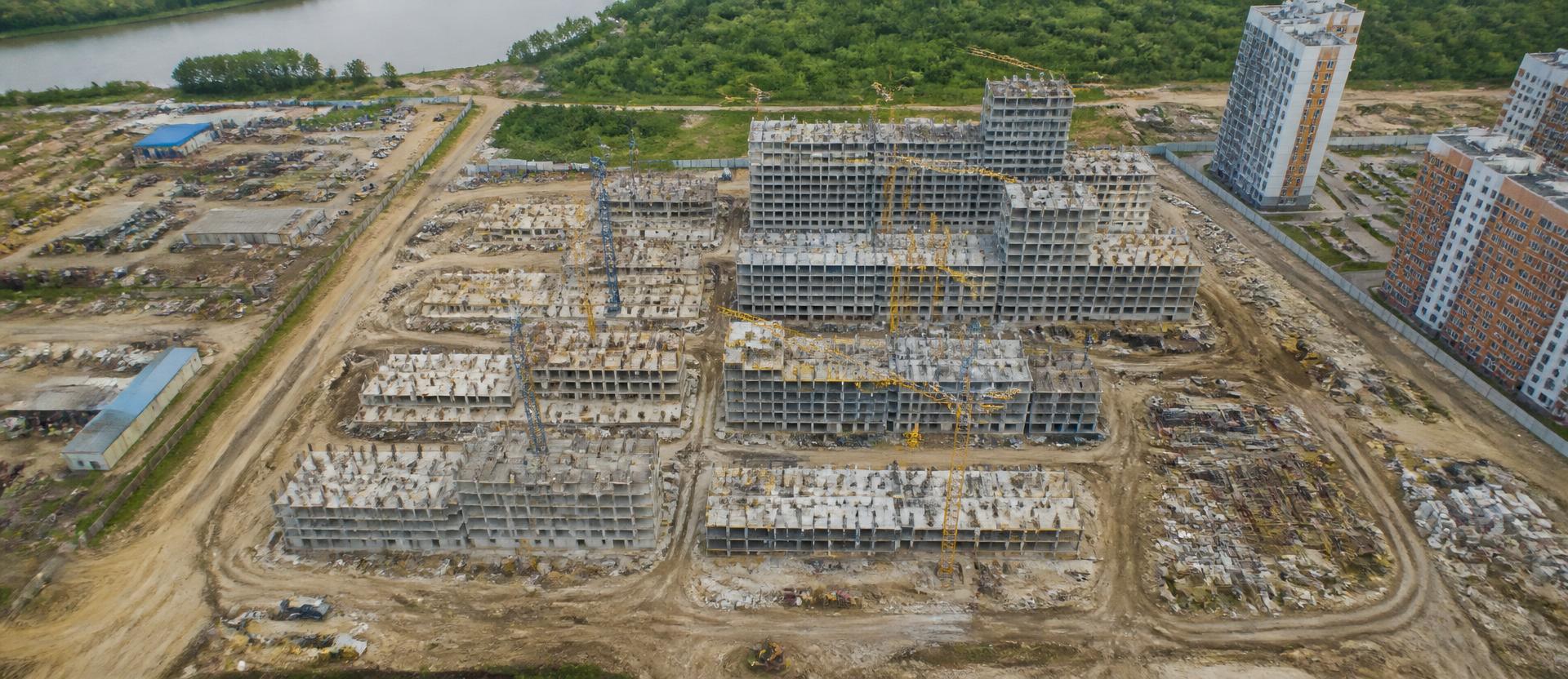
Residential and commercial development progress across active construction sites. Structural framework tracking, site logistics, and earthworks volume — visibility without a site visit.
02
What the drone captures
Recurring RGB orthomosaic mapping, compared flight-over-flight to show what's changed since the last capture.
03
What you get
Progress reports comparing current and previous surveys, delivered on a recurring schedule aligned to your build timeline.
Applications
- A construction site owner verifies earthworks progress against contractor billing.
- A developer tracks progress across multiple sites from one dashboard instead of site visits.
- A project manager catches a cut/fill discrepancy before it becomes a payment dispute.
- A contractor documents weekly progress to defend a timeline claim against a client.