
Sector / 03
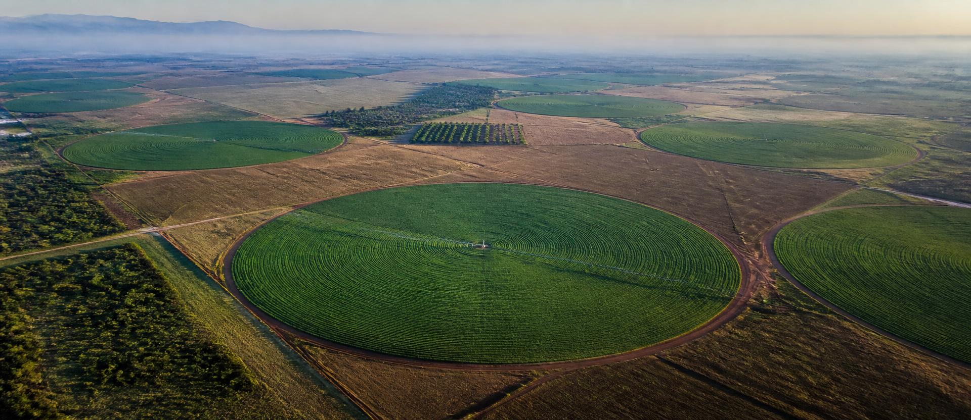
Stress shows up in the canopy long before it shows up in the yield. We surface it early enough to act.
01
What we inspect
Crop health, irrigation efficiency, and field-level anomalies across large agricultural operations. Early detection of stress before it's visible from the ground.
02
What the drone captures
Multispectral imaging for vegetation health indices (NDVI), alongside RGB mapping for field boundary and yield estimation data.
03
What you get
Field health maps and trend data over time — the intelligence layer that turns a flyover into a farming decision.
Applications
- A farm catches an irrigation failure before it shows up in yield.
- A commercial grower spots a pivot dead zone before the crop shows visible stress.
- An agri-investor verifies field health across a portfolio of farms from a single flight report.
- A plantation manager tracks canopy health season over season to plan replanting before yield drops.