
Sector / 04
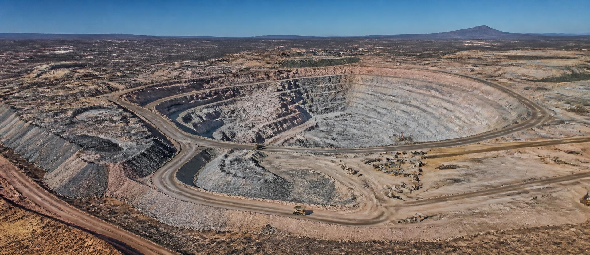
Volume is money. We measure it from the air, repeatably, without stopping the site.
01
What we inspect
Stockpiles, pit walls, rehabilitation zones.
02
What the drone captures
High-resolution imagery for volumetric calculation.
03
What you get
Accurate stockpile volumes and site progress over time.
Applications
- A mine tracks stockpile volumes month over month without a manual survey crew.
- A mine reconciles stockpile volumes against sales records to catch shrinkage before it becomes a loss.
- A quarry operator monitors pit wall stability without sending a surveyor into an active blast zone.
- An operations manager settles a contractor dispute over earthmoving volumes with an independent survey.